
We created a dedicated tool for our customers to help them customise their own Indian postal code or pin code maps and turn them into attractive and meaningful territory maps. Most people don't have the time or inclination to learn the complexities of a full blown GIS package which is exactly why we developed this tool. Even those with a very limited knowledge of computer software can use our tools effectively to produce amazing results.
Give it a try for free by clicking on the big green button below.
Try our India Map Colouring ToolsYou can download vector pdf files of the Indian States & Provinces below showing the PIN code boundaries, labels and city names. Each State has been cropped to show only the PIN codes contained within that state and only the towns and cities within the State. To download all these maps as individual editable files along with a complete bundle of files covering the whole of India as one editable image then Buy the India Files here.
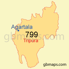
Download Tripura.pdf
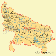 Uttar Pradesh PDF Map Download" />
Download UttarPradesh.pdf

Download Uttarakhand.pdf
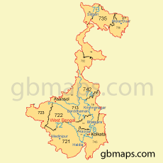
Download WestBengal.pdf
 Andaman PDF Map Download" />
Download Andaman.pdf
 Andhra Pradesh PDF Map Download" />
Download AndhraPradesh.pdf

Download Arunachal.pdf

Download Assam.pdf
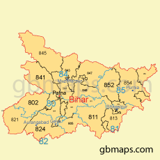
Download Bihar.pdf
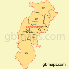
Download Chhattisgarh.pdf
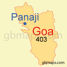
Download Goa.pdf

Download Gujarat.pdf
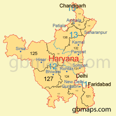
Download Haryana.pdf

Download Himachal.pdf

Download JammuKashmir.pdf
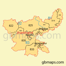
Download Jharkhand.pdf

Download Karnataka.pdf

Download Kerala.pdf

Download Madhya.pdf

Download Maharashtra.pdf

Download Manipur.pdf
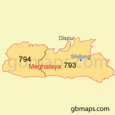
Download Meghalaya.pdf

Download Mizoram.pdf
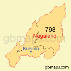
Download Nagaland.pdf

Download Odisha.pdf

Download Punjab.pdf

Download Rajasthan.pdf

Download Sikkim.pdf

Download TamilNadu.pdf

Download Telangana.pdf